


3/16/18 Update: Working on the ship designer and added more land to the existing maps. The designer breaks out the ship sections and calculates the center of buoyancy.
exploded sections:
ship plan showing shear plan with vertical sections and loaded waterline:
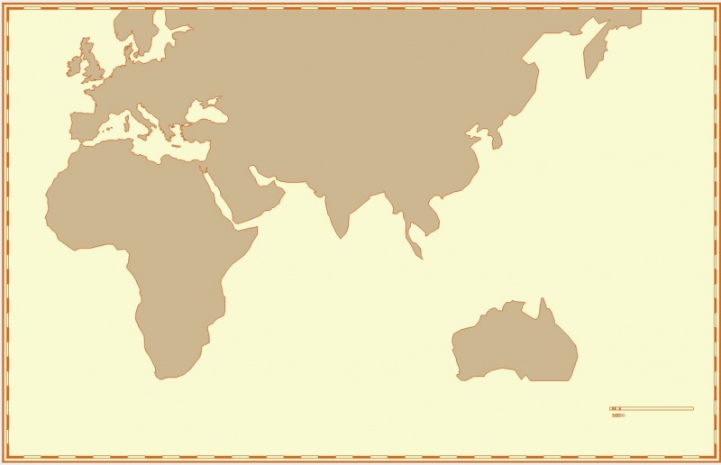
current state of maps:
adding north America:
adding Denmark, Africa, east, and Australia

 Reply With Quote
Bookmarks